 Alberta
Grotto Canyon
Introduction
Have you ever walked along an ice covered river in the middle of winter? Grotto Canyon offers this unique opportunity with little effort and great rewards. Located in the Bow Valley Provincial Park in Kananaskis Country (right when you enter the Rockies via the Trans-Canadian), this hike is relatively short and flat. It allows hikers of all skill levels to immerse themselves in the Rockies! Will you find the indigenous pictographs on the canyon walls or approach the frozen waterfalls? C’est Notre Monde will give you all the details for this great adventure.
3D interactive map
Getting to Bow Valley Provincial Park
Parking access to Grotto Canyon hike: https://goo.gl/maps/K94iq3tG7FXnWmCi7
From Calgary: 93 km – 1h driving time
Take the Trans-Canada hwy AB-1 West toward Banff until exit 114 toward Exshaw. Follow the AB-1X North for 3.5km until the road ends. Turn left toward the Rockies and follow the AB-1A for 10.8km. A sign will indicate the “Grotto Pond” parking area on your right.
Helpful information
To enjoy your hike, you must:
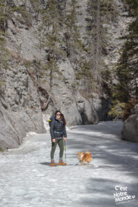
Be Equipped: Wear layers on this hike as the wind and the cold can either run inside or be blocked by the canyon walls. Bring crampons to safely walk on the ice. Finally, always bring water and food in sufficient quantities.
Parking: Parking is located at “Grotto Pond” on the AB-1A. The parking lot is large and free.
Information: Access to Kananaskis Country is not free. You will need to register your vehicle(s) online on the Kananaskis park website and purchase a daily or annual pass. Note that the fees are per vehicle and not per hiker, so carpooling is an option. Be mindful of the forecast and visit the park’s website before your hike to find up-to-date information such as last-seen wildlife, trail conditions, etc.
The Hike
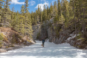
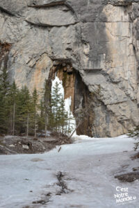
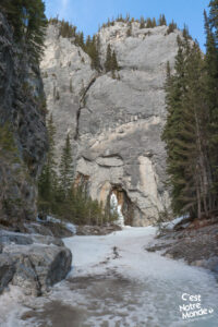
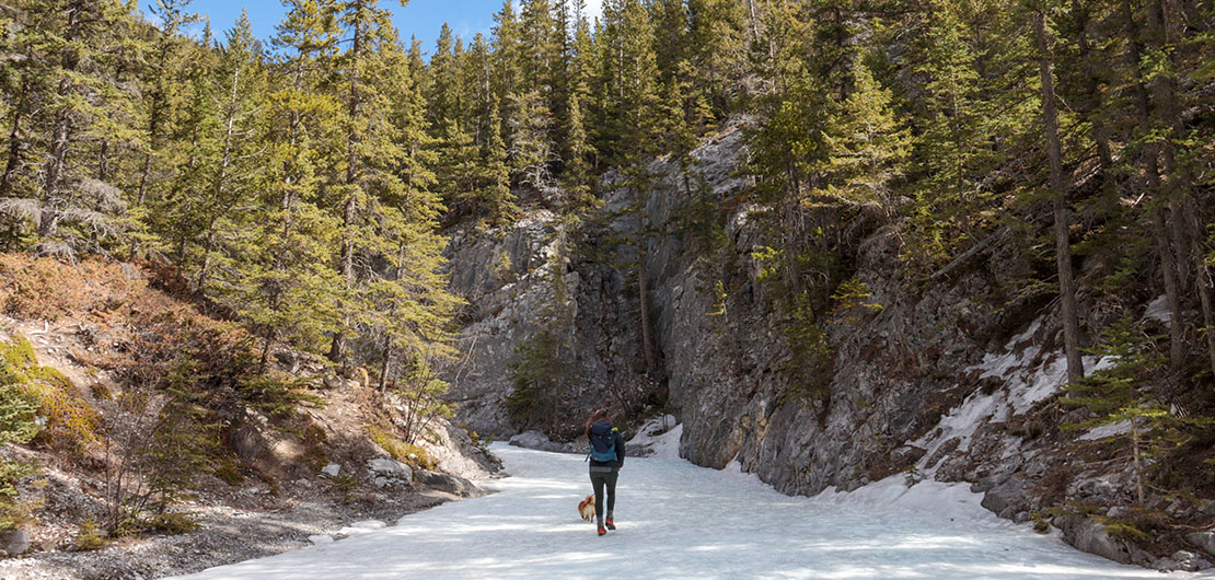
The hike starts by following a trail toward the near-by factory (it is quite loud). After 1.15km (0.7mi), turn right and follow a trail entering the mountains. You will quickly reach the frozen river that will become your trail for the rest of your hike. This is the time to take out your crampons. You quickly enter the canyon and the loud noise coming from the factory slowly disappears. The frozen falls are about 750 meters (0,46mi) away.
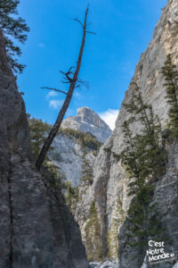
Grotto Canyon in Kananaskis country is an easy and short hike taking you on a frozen river.
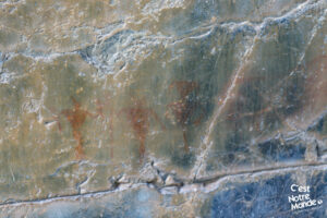
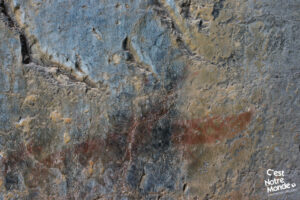
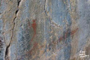
During your hike you may find some red images on the canyon walls. These are indigenous pictographs dated more than 500 years-old (1300 years-old by some experts). When you look closer (please do not touch them), you’ll recognize the drawings of a canoe, animals, and the famous Kokopelli, the flute player and a symbol of fertility and joy.
Grotto Canyon will discover you frozen waterfalls and indigenous pictographs.
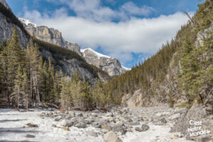
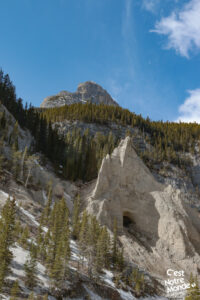
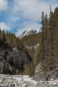
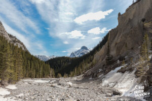
Once you get to the first frozen waterfall (you can’t miss it), the canyon widens and you will notice other falls on the right. This place is magical. Most hikers stop at this point but it is possible to continue a bit further, following the river. After 200 meters, you will leave the canyon and enter a large valley. Walking along the dry river bed, lost in the mountains with caves overhead, you will get to experience a truly unique place.
Retrace your steps to get back to the parking lot.
TO KNOW
Interest
Difficulty
Distance
Approximately 5,2 km / 3.25 miles
Duration
Around 2 or 3 hours
Elevation
1470 meters / 4820 feet
Elevation gain
Around 250 meters / 820 feet
Useful informations
See on Caltopo (detailed)
See on Google Maps (basic)
Useful links
Website: https://www.albertaparks.ca/parks/kananaskis/kananaskis-country/advisories-public-safety/trail-reports/bow-valley/grotto-creek-canyon/
Parking: https://goo.gl/maps/9wTSiiE3TF8RsMSP6
Weather forecast: https://www.albertaparks.ca/parks/kananaskis/kananaskis-country/advisories-public-safety/trail-reports/bow-valley/grotto-creek-canyon/
Download GPX: https://www.cnotremonde.com/gpx/Grotto-Canyon-AB-cestnotremonde.gpx
