 Alberta
Parker Ridge
Introduction
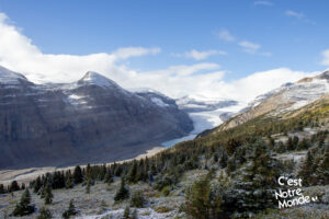
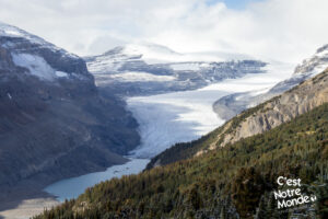
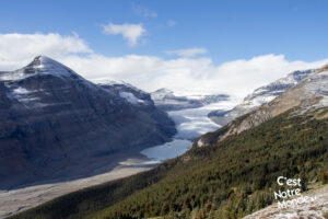
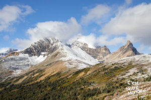
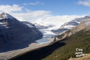
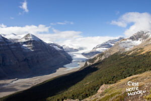
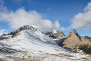
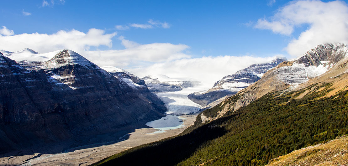
A bird’s eye view of a glacier in the middle of the Rockies, yet easily accessible. What else could we ask for? Parker Ridge is the perfect combo to appreciate what the Rockies have to offer. Located on the Icefield Parkway in Banff National Park, this moderate hike will take you to a breathtaking view point on the Saskatchewan Glacier and also the foothills of the magnificent Mount Athabasca (3491 m). A magical place between ice and summits that can be visited in just a few short hours without too much effort. What are you waiting for?
3D interactive map
Getting to Banff National Park:
Parking access to Parker Ridge hike: https://goo.gl/maps/hpeffDsmHXLc18Vo9
From Calgary: 300 km – 3h20 driving time
Take the Trans-Canada hwy AB-1 West toward Banff for 176 km until the AB-93N exit toward Jasper. You will pass through the Icefield Parkway gate (there is a toll). You do not have to pay if you have already purchased a National Park permit (yearly or daily). Follow the Icefield Parkway for 116 km until you reach the well indicated parking lot for the Parker Ridge trailhead.
Helpful information
To enjoy your hike, you must:
Be Equipped: Hiking boots are a necessity. A steep section of the hike (easy scramble) requires ankle protection. Hiking poles are also recommended on your way down. Bears are present in the area, therefore bear spray should be easily accessible in the case of unexpected encounters. Finally, always bring water and food in sufficient quantities.
Parking: The parking lot is located on the left side of the road when driving toward Jasper. Although quite large, it will quickly fill-up, especially during the high season (June to September).
Information: Access to Canadian National Parks is not free. Daily or annual passes can be purchased online or at the toll booths located at the entrance to Banff National Park.
The Hike
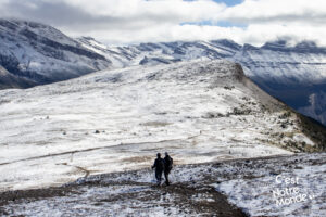
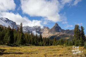
The trail is well marked and maintained. The first part consists of reaching a large ridge where you will access several viewpoints. The climb is moderate, about 250 m of elevation (814 ft) spread over 1.9 km (1.16 mi). You will quickly leave the forest and find yourself in an Alpine environment; open terrain with great views all around you. Once on the ridge, follow the same trail until you reach the first panorama of the Saskatchewan Glacier (see Caltopo map) then continue until the end of the trail, about 900 m away.
After your hike on Parker Ridge, take the opportunity to visit the famous Columbia Icefield located a few kilometers north of the trailhead.
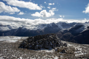
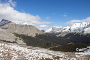
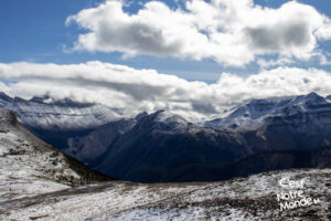
Retrace your steps and walk toward the highest point of the ridge, located on the left (while retracing your steps, so looking North). At the top, you will be 2320 m high. You will find a rock shelter to protect you from strong winds. Here, the panorama is absolutely stunning! You can appreciate the valley of the Icefield Parkway on one side, the glacier on the other side, while being surrounded by the Rocky Mountains, such as Mount Athabasca (3491 m).
The panorama at the top is absolutely stunning! You can appreciate the valley of the Icefield Parkway on one side, the glacier on the other side…
Retrace your steps to return to the parking lot.
TO KNOW
Interest
Difficulty
Distance
Approximately 6,6 km / 4.1 miles
Duration
2 to 3 hours
Elevation
2320 meters / 7612 feet
Height difference
Around 350 meters / 1148 feet
Useful informations
See on Caltopo (detailed)
See on Google Maps (basic)
Useful links
Website: https://parks.canada.ca/pn-np/ab/banff
Parking: https://goo.gl/maps/hpeffDsmHXLc18Vo9
Weather forecast: https://www.mountain-forecast.com/peaks/Mount-Athabasca/forecasts/3491
Download GPX: https://www.cnotremonde.com/gpx/Parker-Ridge-AB-cestnotremonde.gpx
