 Alberta
The Fortress
Introduction
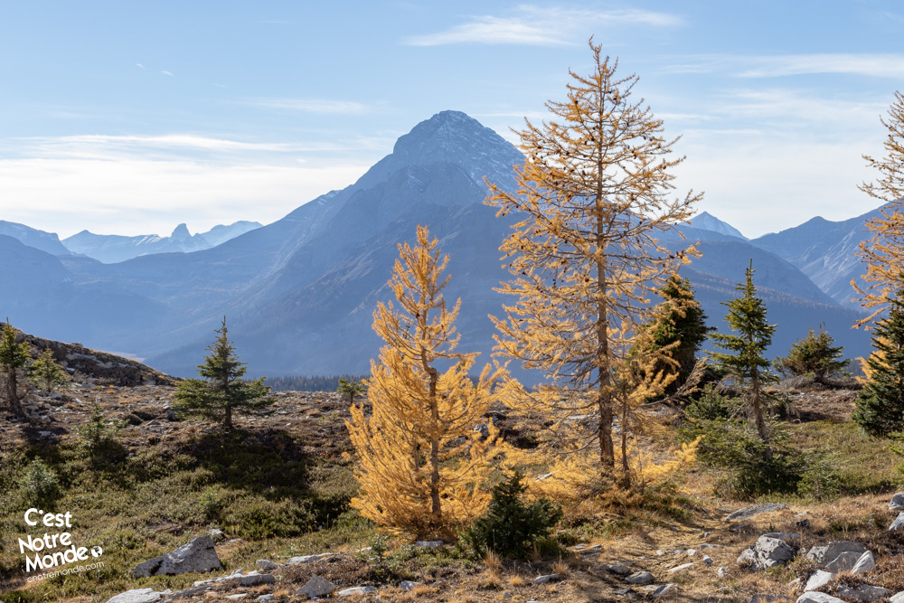
Discovering the hike of The Fortress in Kananaskis Country is an exceptional experience. This 18 km loop, although long and demanding, reveals two enchanting valleys, three lakes where the majestic surrounding mountains are reflected, as well as a summit reaching 3000 meters above sea level. It’s a true mountain paradise that offers a breathtaking spectacle at every turn of the trail. The itinerary we recommend takes you through the valleys of Headwall and Chester Lakes, undisputed gems of the Canadian Rockies. This hike is an absolute favorite to add at the top of your mountain adventure list.
3D interactive map
Getting to Chester Lake Trail Head
Parking access to The Fortress hike: https://maps.app.goo.gl/8kwRpTxGJuzxSKqz8
From Calgary: 150 km – 2h00 driving time
Take the Trans-Canada Highway AB-1 West towards Banff for about 66 km and take exit 118 towards Kananaskis Country. Follow AB-40 South for another 55 km, then turn right onto AB-742 towards Kananaskis Lakes. After 2.5 km, turn right towards Spray Lake Reservoir. Your destination will be on your right approximately 20 km further.
Helpful information
To enjoy your hike, you must:
Be Equipped: Hiking boots are a necessity. A steep section of this hike (easy scramble) requires ankle protection. Hiking poles are also recommended on your way down. Bears are present in the area, therefore bear spray should be easily accessible in the case of unexpected encounters. Finally, always bring water and food in sufficient quantities.
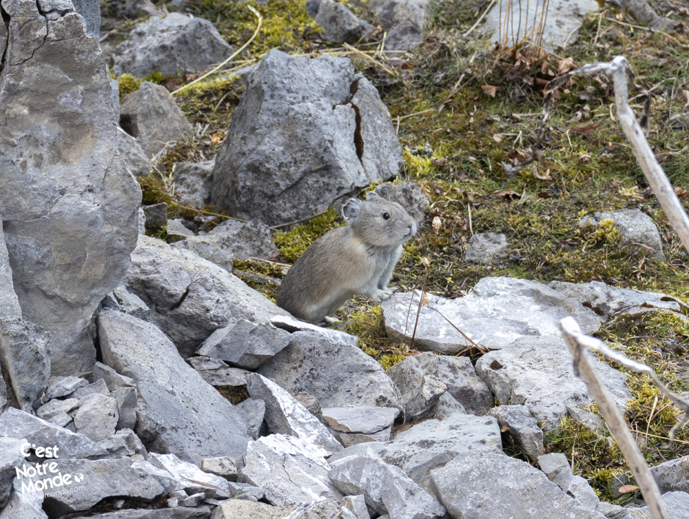
Information: Access to Kananaskis Country is not free. You will need to register your vehicle(s) online on the Kananaskis Park website and purchase a daily or annual pass. Note that the fees are per vehicle and not per hiker, so carpooling is an option. Be mindful of the forecast and visit the park’s website before your hike to find up-to-date information such as last seen wildlife, trail conditions, etc.
The Hike
We highly recommend doing this hike counterclockwise, starting at the Headwall Lakes and finishing at Chester Lake. Begin by following the Headwall Lakes Alt Trail (to the right of the parking lot as you enter). In the first 3.9 km (2.4 mi), the trail is fairly wide and mostly through forested areas. Cross a river via a wooden bridge and turn left onto a small trail a few meters further. A small cairn marks its location, so be sure not to miss it.
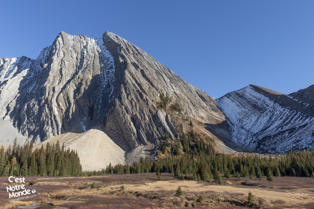
The Fortress via Headwall Lakes and Chester Lake is a must-do hike in Kananaskis Country, Alberta.
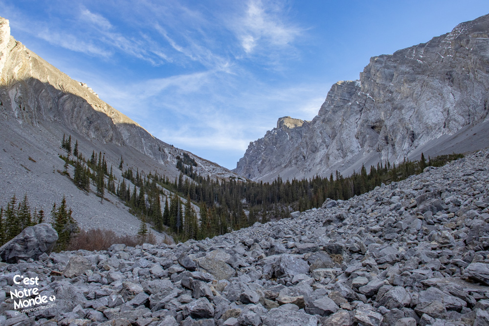
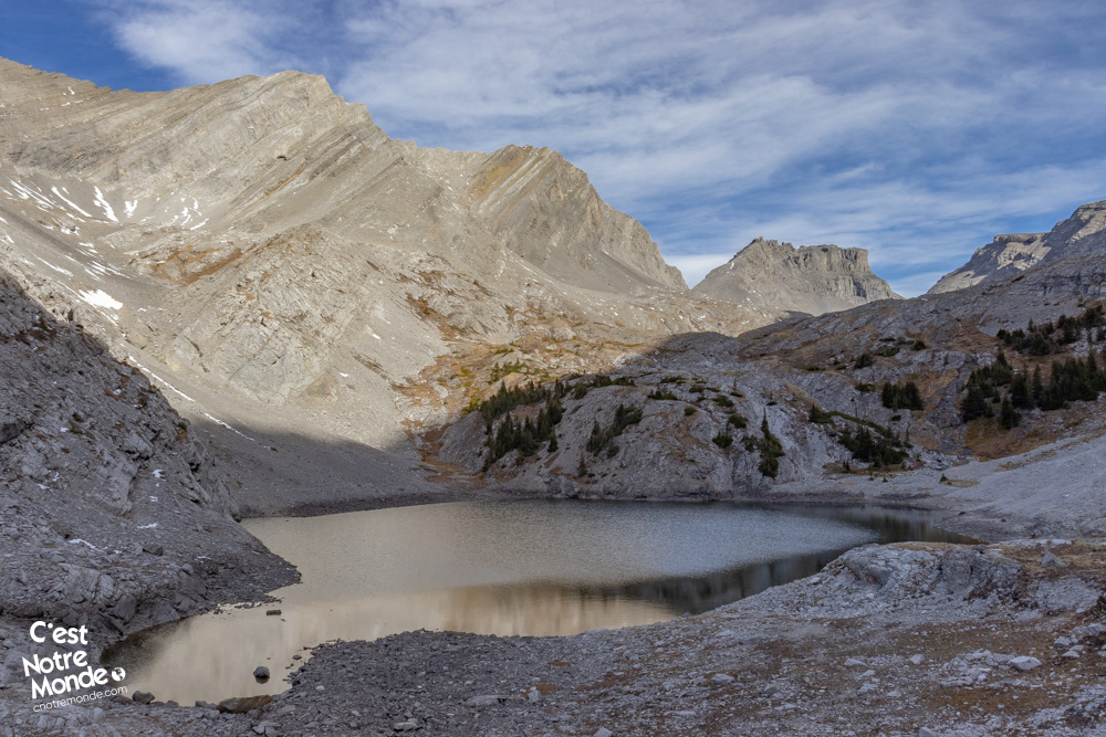
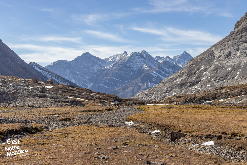
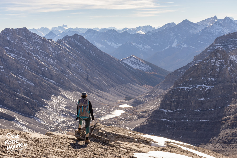
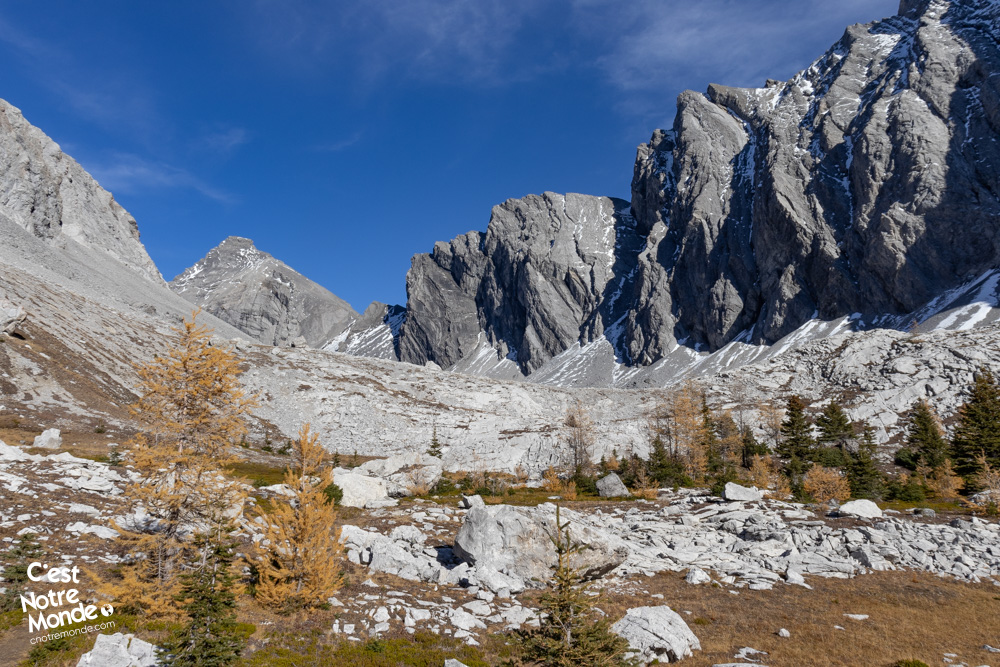
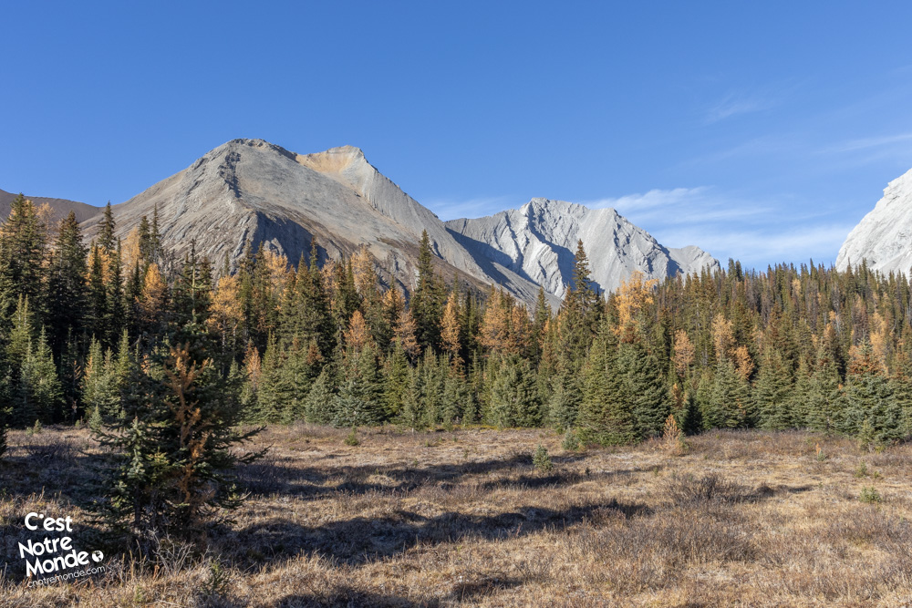
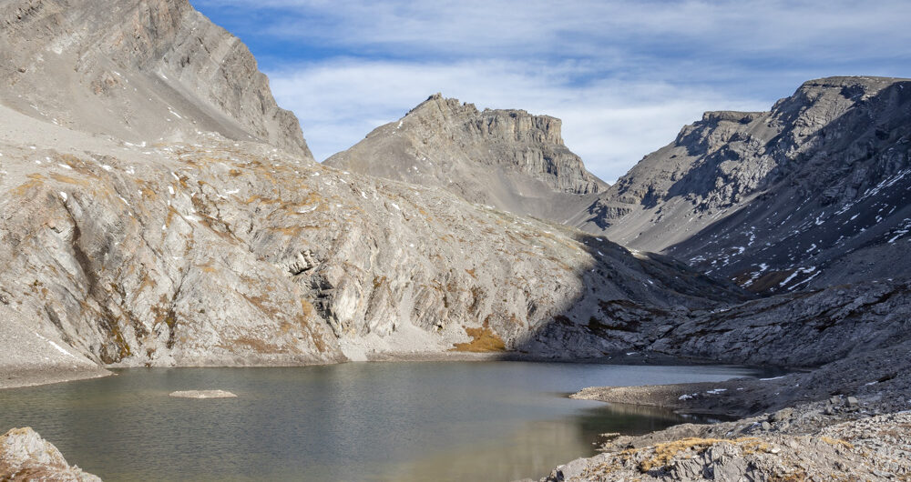
The trail then narrows and blends into the vegetation. Follow the river, gradually ascending the Headwall Valley until you reach a large field of rocks. A steep climb will then take you to the first Headwall Lake, whose crystal-clear waters reflect the surrounding mountains, offering a true mountain paradise. Continue on the same trail to reach the second Headwall Lake, another beautiful spot. From here, you’ll have a view of The Fortress, your ultimate goal, further down the valley, providing a magnificent perspective with the lake in the foreground. The trail then leads you into a higher mountain meadow. By this point, you will have covered approximately 8 km (5 mi) and ascended nearly 550 m (1805 ft).
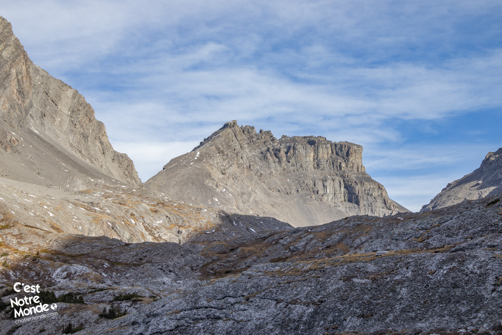
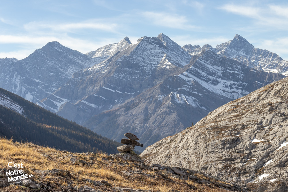
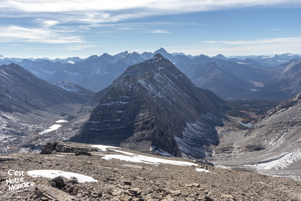
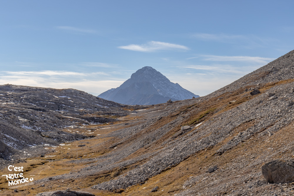
The Fortress is a 3000m peak offering a unique panoramic view of the Kananaskis Country region.
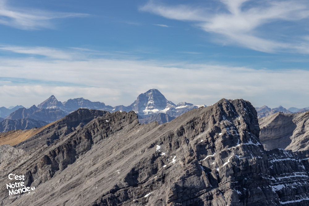
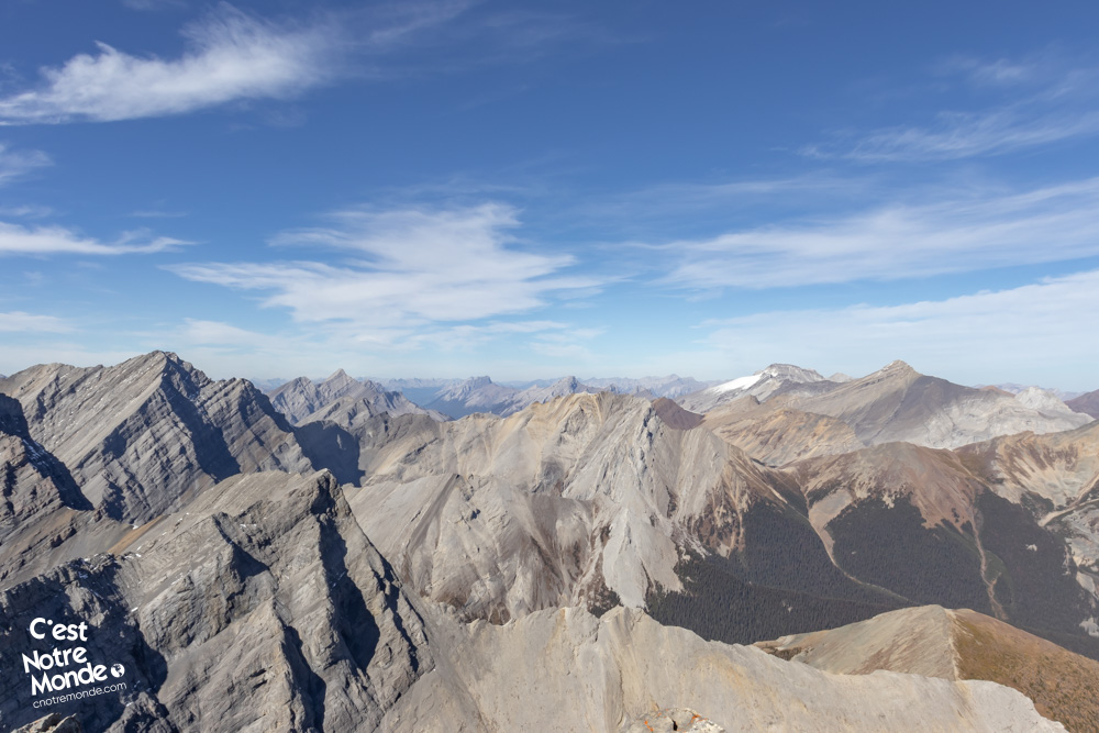
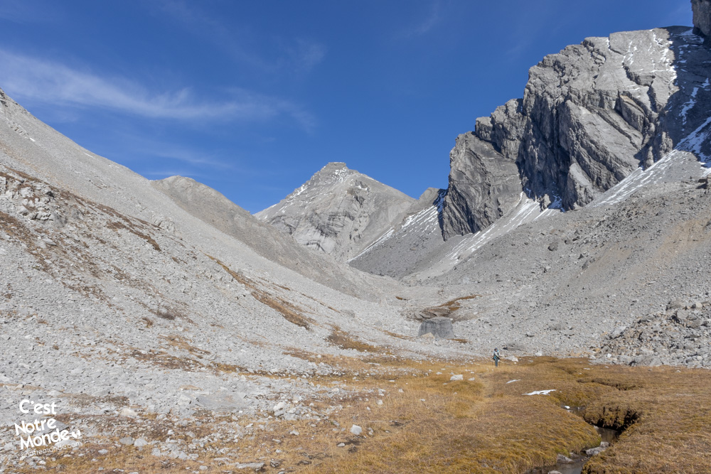
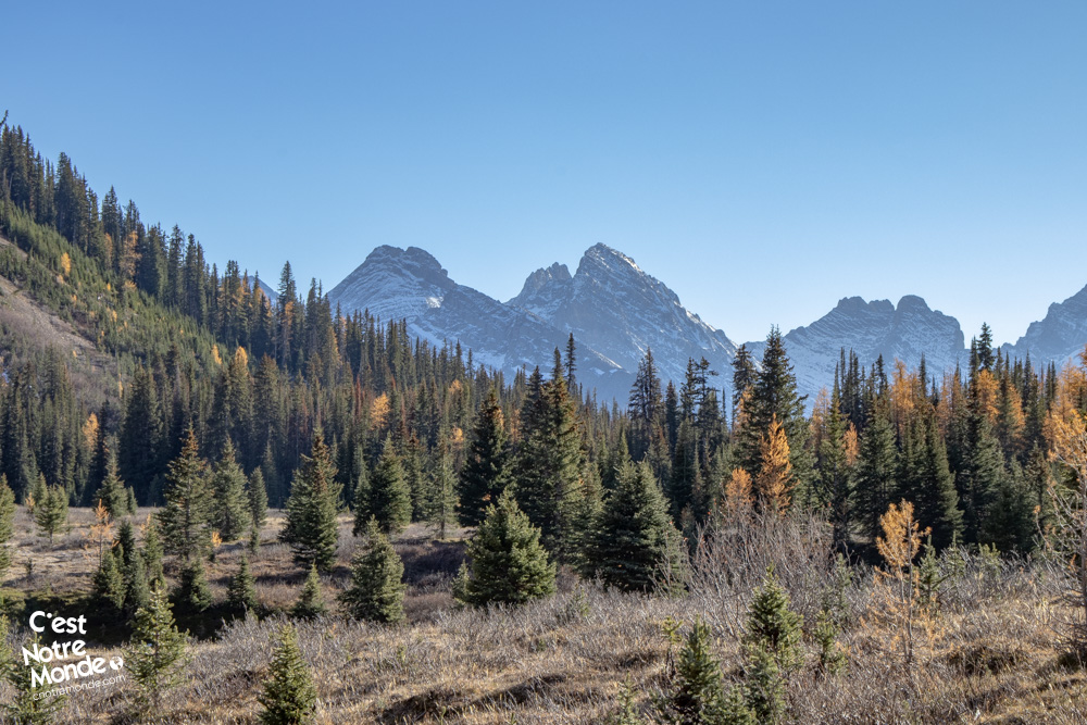
The real challenge begins now. You need to reach the Headwall/Chester pass that connects the two valleys. The ascent to the pass is steep and crosses a fairly unstable field of rocks, so take your time. Once at the pass, turn right to begin the final ascent to the summit of Fortress, which is another 250 m higher. Traverse the final 0.9 km (0.56 mi) through a field of rocks to reach the summit. The last part of the ascent involves a bit of scrambling, short and simple, to reach the summit plateau. You’re now at the top of The Fortress, at 3000 m altitude! You’ll find yourself amidst the two valleys, with an impressive view of iconic Rocky Mountain peaks such as Sparrowhawk, Big Sister, Assiniboine, , and many others.
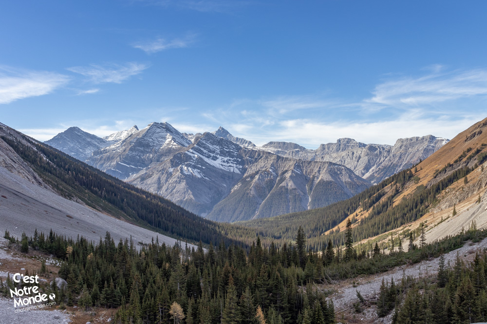
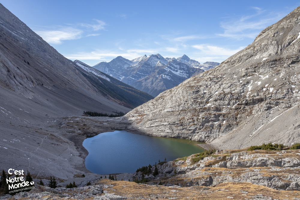
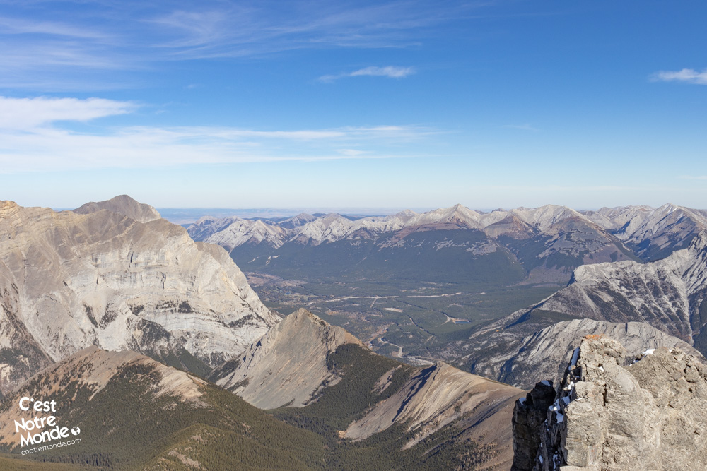
The hike to The Fortress via Headwall Lakes and Chester Lake takes you on a long loop through two valleys with stunning beauty.
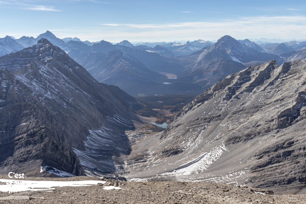
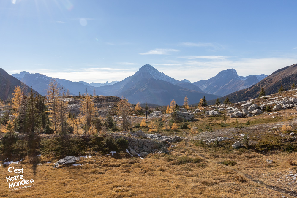
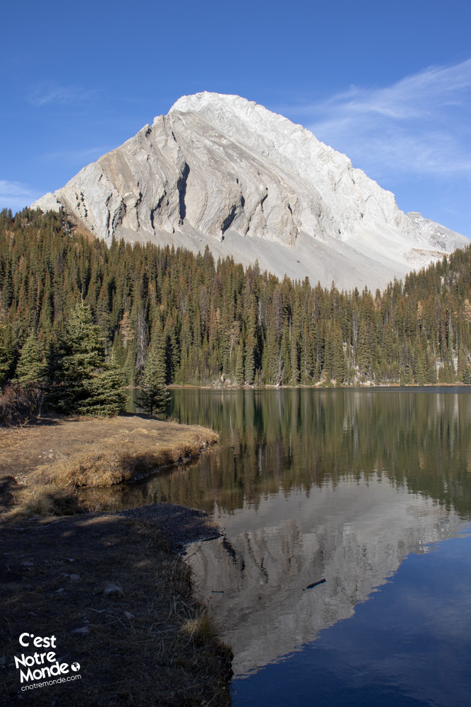
Descend back to the pass following the same path as the ascent. Once at the pass, descend to your right towards Chester Lake valley. The descent is steep and, as always, through an unstable rocky terrain, so take your time. Once at the bottom of the valley, continue on the trail through a large scree field to reach another alpine meadow and the first trees. You’ll then enter the forest below to reach the famous Chester Lake, an enchanting spot where peaks over 3000 m are reflected in the pure waters of the lake. Despite its popularity, this place remains very relaxing.
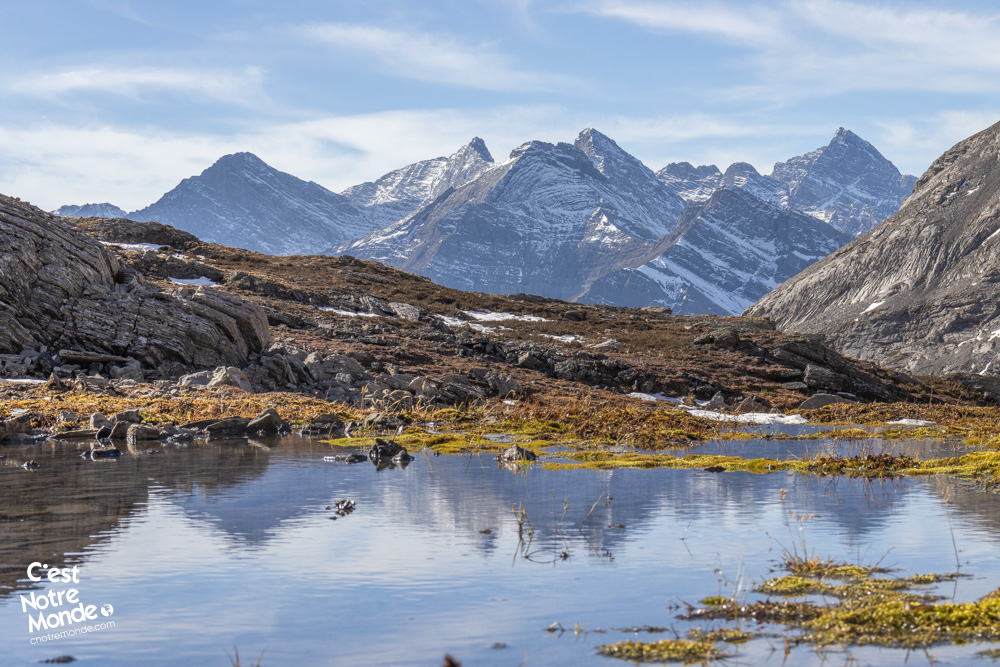
The hike to The Fortress is an absolute favorite for C’est Notre Monde. We consider this place to be one of the most beautiful in the Canadian Rockies.
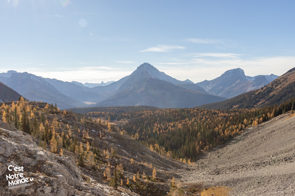
The final segment involves returning to your vehicle, 4.5 km (2.8 mi) away. The trail offers magnificent views of the valley peaks and passes through a forest.
TO KNOW
Interest
Difficulty
Distance
Approximately 18.5 km / 11.5 miles
Duration
Around 8 or 10 hours
Elevation
3000 meters / 9483 feet
Elevation gain
Around 1150 meters / 3773 feet
Useful informations
See on Caltopo (detailed)
See on Google Maps (basic)
Useful links
Website: https://www.albertaparks.ca/parks/kananaskis/kananaskis-country/
Parking: https://maps.app.goo.gl/8kwRpTxGJuzxSKqz8
Weather forecast: https://www.mountain-forecast.com/peaks/The-Fortress/forecasts/3000
Download GPX: https://www.cnotremonde.com/gpx/The-Fortress-AB-cestnotremonde.gpx