 Alberta
Wasootch Peak
Introduction
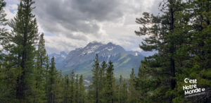
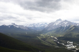
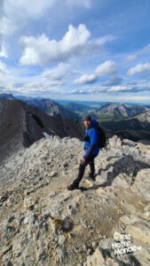
At 2300 meters high, Wasootch Peak can be climbed with an easy but tiring scramble. Located in the Kananaskis Region (Alberta), only 1h20 away from Calgary, this short-distance high-elevation hike is a real leg burner. The summit is worth the effort though, with a 360-degree panorama of the region, including the Natiska ski resort, Wasootch Ridge, Porcupine Ridge and even Midnight Peak.
3D interactive map by our partner FATMAP – the outdoor adventure platform for web and mobile
Getting to Elbow-Sheep Wildland Provincial Park:
https://goo.gl/maps/f8dGiQpQsDFYBwjK8
From Calgary: 97km –1h20 driving time
Take the Trans-Canada hwy AB-1 West toward Banff for 50 km until the 118 exit toward Kananaskis Country. Follow the AB-40 South for 23 km. The parking lot (just the side of the road with enough space for vehicles) is located on the left.
Helpful information
To enjoy your hike, you must:
Be Equipped: Hiking boots are a necessity. A steep section of the hike (easy scramble) requires ankle protection. Hiking poles are also recommended on your way down. Grizzlies are usually present in the area, therefore bear spray should be easily accessible in the case of unexpected encounters. Finally, always bring water and food in sufficient quantities.
Parking: You can park alongside the edge of the road.
Information: Access to Kananaskis Country is not free. You will need to register your vehicle(s) online on the Kananaskis park website and purchase a daily or annual pass. Note that the fees are per vehicle and not per hiker, so carpooling is an option. Be mindful of the forecast and visit the park’s website before your hike to find up to date information such as last seen wildlife, trail conditions, etc.
The Hike
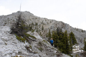
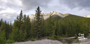
The hike starts directly in the forest next to a creek (on the right-hand-side of the trail). After the first 200 meters, the trail starts climbing and will continue that way until you reach the summit. Bears (grizzlies included) are often seen on this mountain, so be prudent and make noise regularly. After about 2.3km (1.4mi), the trail steepens becoming more “rocky” and the scrambling begins.
At 2300 meters high, Wasootch Peak can be climbed with an easy but tiring scramble. Located in the Kananaskis Region (Alberta), only 1h20 away from Calgary, this short distance high elevation hike is a real leg burner.
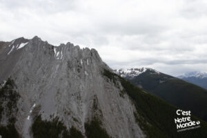
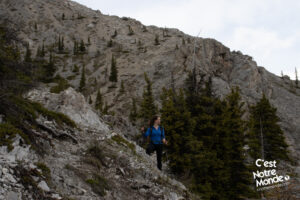
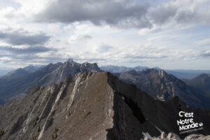
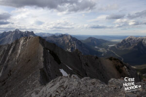
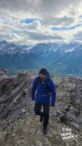
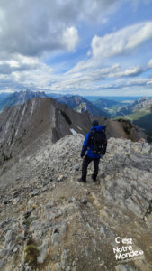
You will quickly pass the tree line and the trail becomes harder to identify as you enter a very steep scree area. This part can be intense so take your time. Although non-technical, the slope can be intimidating (beware if you are scared of heights). Once at the top of the scree (3km/1.9mi away from the parking lot), you will reach a rocky platform with a short 2 meter-high wall that needs to be climbed. You will then get to the summit ridge and will have to walk another 100 meters to reach the top of Wasootch Peak.
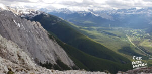
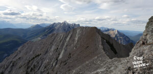
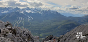
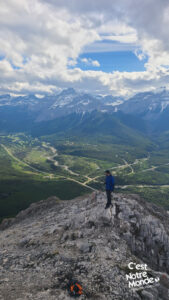
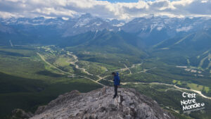
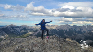
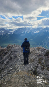
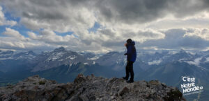
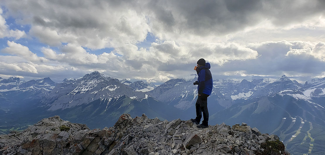
The summit is worth the effort though, with a 360-degree panorama of the region, including the Natiska ski resort, Wasootch Ridge, Porcupine Ridge and even Midnight Peak. Gorgeous!
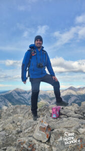
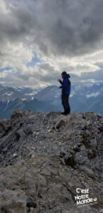
The summit is easily identifiable as there is a cairn (pile of rocks) with a little iron box at its feet (it was pink in 2022). Inside, you will find a notebook and a pen to add a friendly message if you’d like. The 360-degree view at the top is very impressive. You can see the prairies, the Natiska ski resort, Wasootch Ridge, Porcupine Ridge and even Midnight Peak . Absolutely Gorgeous!
Retrace your steps to get back to the parking lot.
TO KNOW
Interest
Difficulty
Distance
Approximately 6,2 km / 3.8 miles
Duration
4 hours
Elevation
2300 meters / 7546 feet
Height difference
Around 875 meters / 2875 feet
Useful informations
See on Caltopo (detailed)
See on Google Maps (basic)
Useful links
Website: https://www.albertaparks.ca/parks/kananaskis/kananaskis-country/
Parking: https://goo.gl/maps/H1kvV4yc5dzgGcp88
Weather forecast: https://www.mountain-forecast.com/peaks/Mount-Allan/forecasts/2819
Download GPX: https://www.cnotremonde.com/gpx/Wasootch-Peak-AB-cestnotremonde.gpx
